“Overview of Some City Cycling Routes, Paths and Trails” (Post 1)
By Sarah Labossiere, 1/20/24
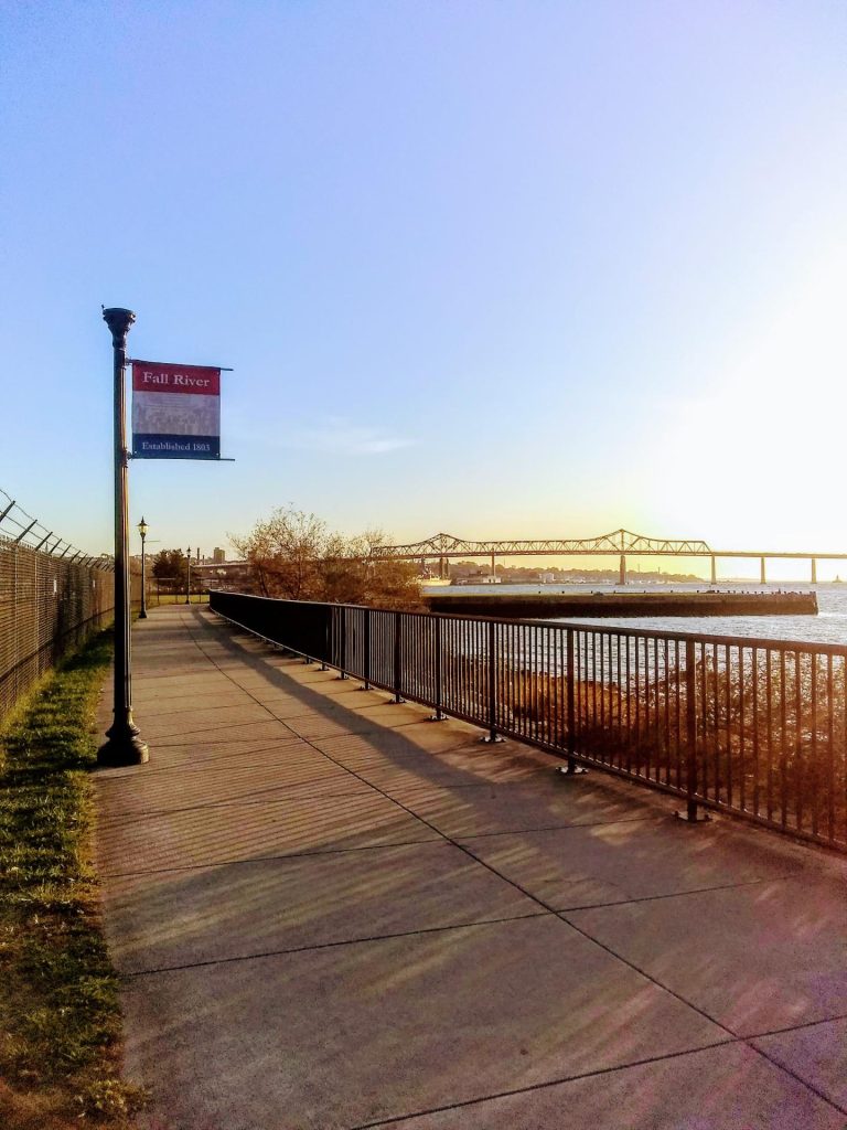
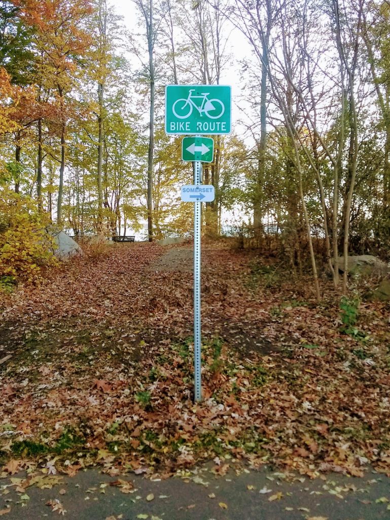
Are you a cyclist wanting some water views or safe passage over the Taunton River? You can leave your car at Heritage State Park and follow the bike path to Bicentennial Park. After a short bit of road cycling north, you will find yourself at the Veterans’ Memorial Bridge and on the separated, shared use path to Somerset.
Do you want a traffic free, paved path to ride with the kiddos, to check out the living mural near Britland Park, or to pedal beside the busy ducks and geese in a natural landscape? Then the AJL Quequechan River Rail Trail is the 2.5+ mile route for you!
Or, is it more your style to search out some quiet woodland trails where you can bounce your mountain bike over a rock garden, coast up and down rollers, or test your grit muscling up some rising single track? If this spins your wheels, then the 50+ miles of mapped trails throughout the
Southeastern MA Bioreserve is your best bet.
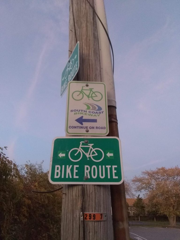
When you need to ride the city streets, do you prefer that they include marked bike lanes to improve safety? Plymouth Ave has a long stretch of roadway striped for bike travel between Downtown Rodman St and South End Laurel St. Brayton Ave, and N. Eastern Ave also have long sections, and Elsbree St, New Boston Rd, and Charlotte St have shorter sections of designated bike lanes. Additionally, Meridian St, Riggenbach Rd and Airport Rd all have wide striped shoulders with comfortable space for bikes.
I have pedaled many miles in all of these settings, and they each shine in their own ways. I encourage you to get out there and see for yourself! On your adventures, you will notice pleasant and beautiful sections, and some conditions you wish would improve. Haters will always find details to complain about, but noting an area on your route that needs attention is an opportunity to advocate!
Some maintenance or improved infrastructure will surely benefit the people who pass by and share these spaces in the city. Why not contact the city department that can help, and share the location you have noticed? Hopefully, some clean up, repair or even a redesign to fix safety or
accessibility concerns will be the result of your effort. You can find department descriptions and contact info at www.fallriverma.gov , or by calling Government Center at 508.324.2000.
Fall River leaders continue to plan and make progress toward several approved projects that will improve safe cycling, walking, and public use in the city. The Route 79 redesign includes wide, separate and protected paths beside both north and southbound lanes of travel. Also, permitting work is progressing on the looped extension to the Quequechan River Rail Trail and the spur that will connect it to Father Travassos Park. There are new bike lanes to be striped near the waterfront once the weather warms. And improved mapping and wayfinding on the Watuppa Reservation trails is well underway and will be in use this summer.
There are many options in Fall River for getting some exercise, commuting to work or school, traveling on errands, and taking in the sights of the seasons by bicycle. There are also regional connections that will lead you outside the city, to our neighboring states and even along the entire eastern seaboard! Stay tuned for future posts detailing the specific joys to be found when you ride “round the ‘Riv” and venture out from the city on local (and longer!) excursions.